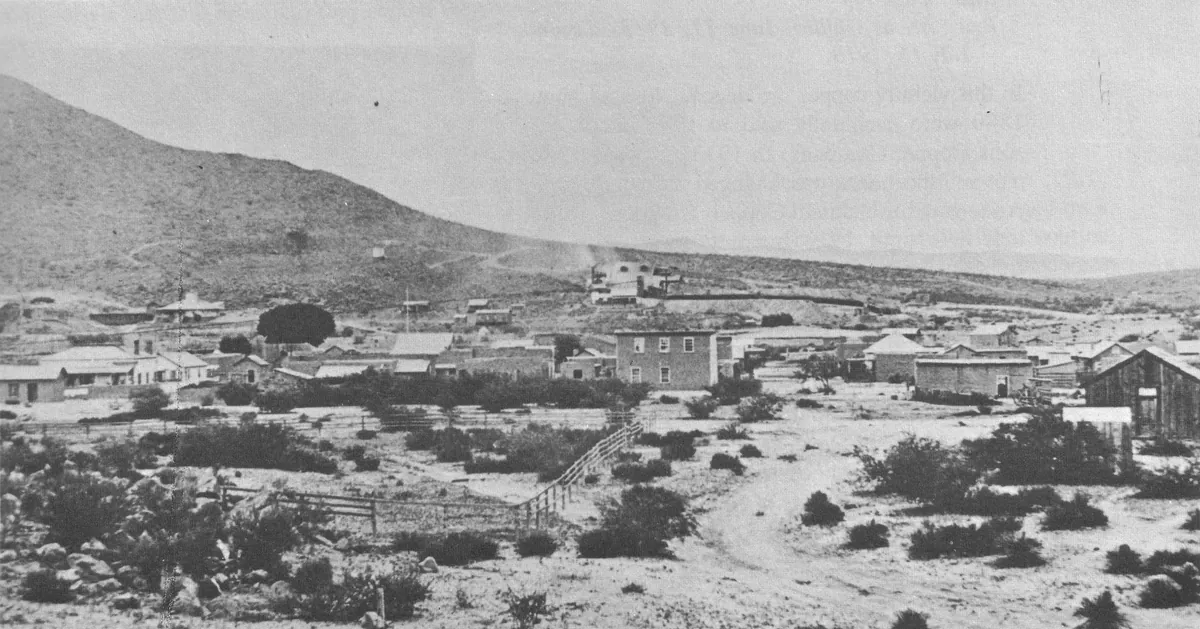
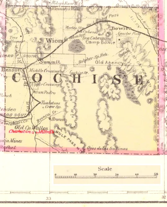
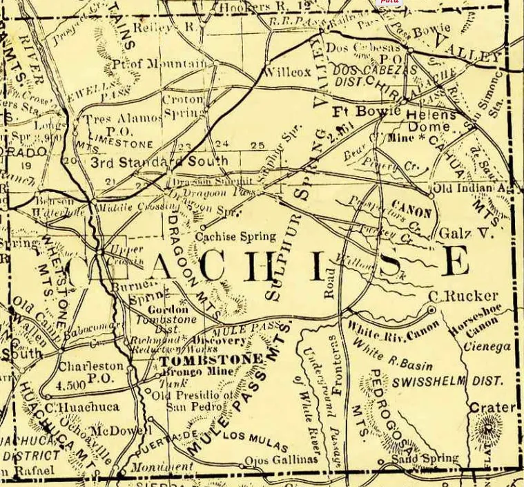
Amos Stowe claimed land along the San Pedro River in October 1878, and by the following May forty buildings stood on what had become Charleston. The town existed because Tombstone, nine miles northeast, had silver ore but no water for milling. Charleston supplied the housing; Millville, directly across the river, ran the stamp mills. The post office opened April 17, 1879.
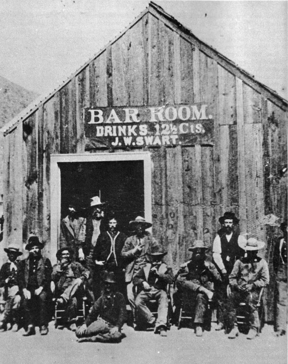
The San Pedro carried what the mines needed. Ore came down from Tombstone by wagon, crossed to Millville's two mills, and the tailings washed back into the river. Charleston grew as the bedroom town for mill workers and teamsters — adobe walls, a grid of dirt streets, the ordinary furniture of a place built to last as long as the ore held out.
The ore didn't hold. Tombstone's mines flooded in 1886; the mills went dark. On May 3, 1887, the Sonoran earthquake shook down what was left of Charleston's adobe construction. The post office closed in October 1888. By 1889 the town was empty.
What remains are wall stubs and low mounds of melted adobe along the west bank of the San Pedro, now within the San Pedro Riparian National Conservation Area. The Bureau of Land Management manages the site; a trail leads in. The ruins don't look like much — chest-high remnants, mostly — but they mark where a working town stood for a decade because water ran and silver needed crushing. Millville is gone too. The river still runs.
- ·Coords from Wikipedia (31°38'9"N 110°10'21"W = 31.635833, -110.1725). Founding: land claimed by Amos Stowe Oct 28, 1878; ~40 buildings by May 1879; post office opened Apr 17, 1879, closed Oct 24, 1888. Paired with Millville directly across the river (two ore-stamp mills). Remains: adobe wall ruins along the San Pedro, now within the San Pedro Riparian National Conservation Area (BLM), accessible by trail. Distinct from Fairbank/Contention. 5+ specific facts.
More archive
Memories
Editorial content compiled with AI assistance. Place details verified against public records.