Top picks in Down on the Bayou
The places most worth your time here.
Connect your Cour circle to see which places friends and family recommend here.
Connect Cour →Landmarks
79 places worth the detour
Includes 2 ghost landmarks— places that existed here and don’t anymore
tap the eye to open · swipe or use buttons to browse
This is the country where Louisiana runs out of land. Before the bayous had French names, the Chitimacha and the Biloxi-Chitimacha-Choctaw ancestors of today's United Houma Nation lived on every…
Read the full storyTours
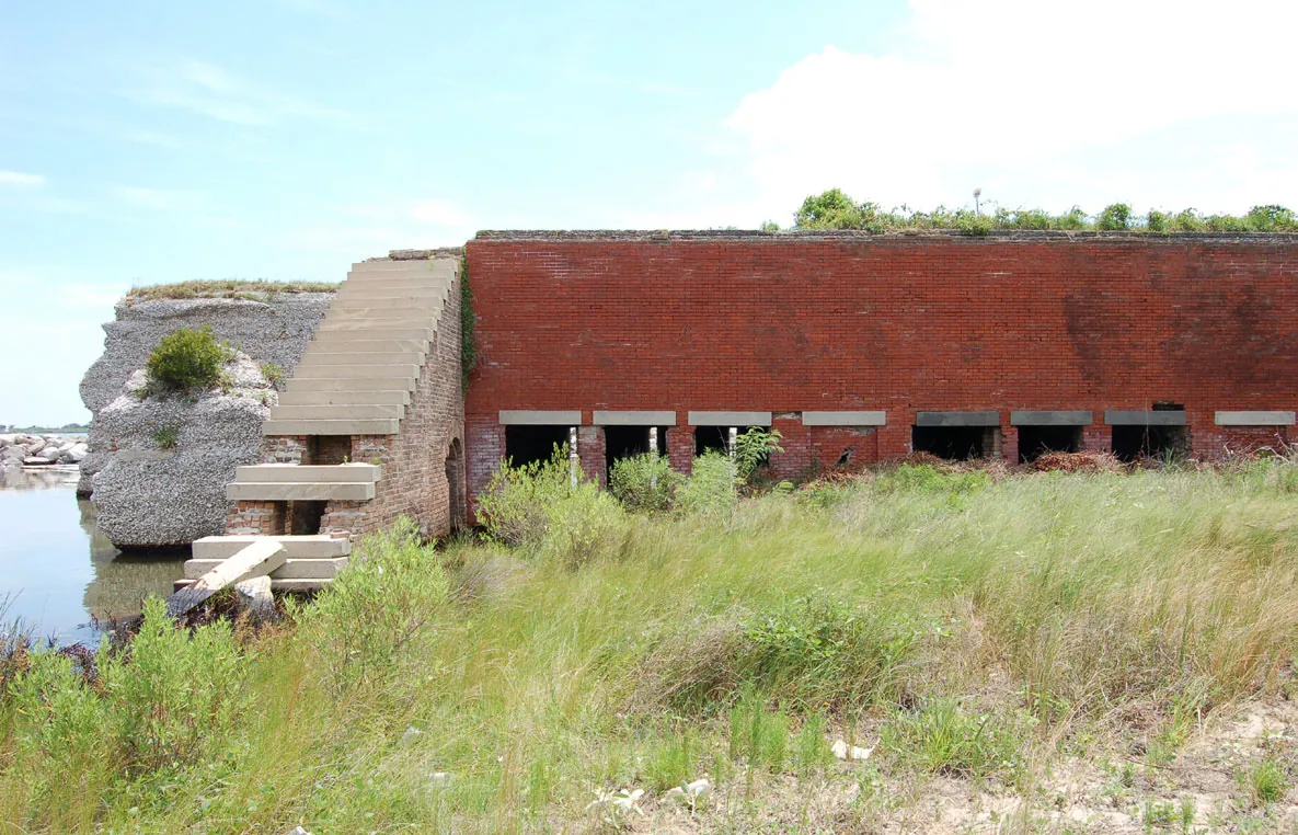
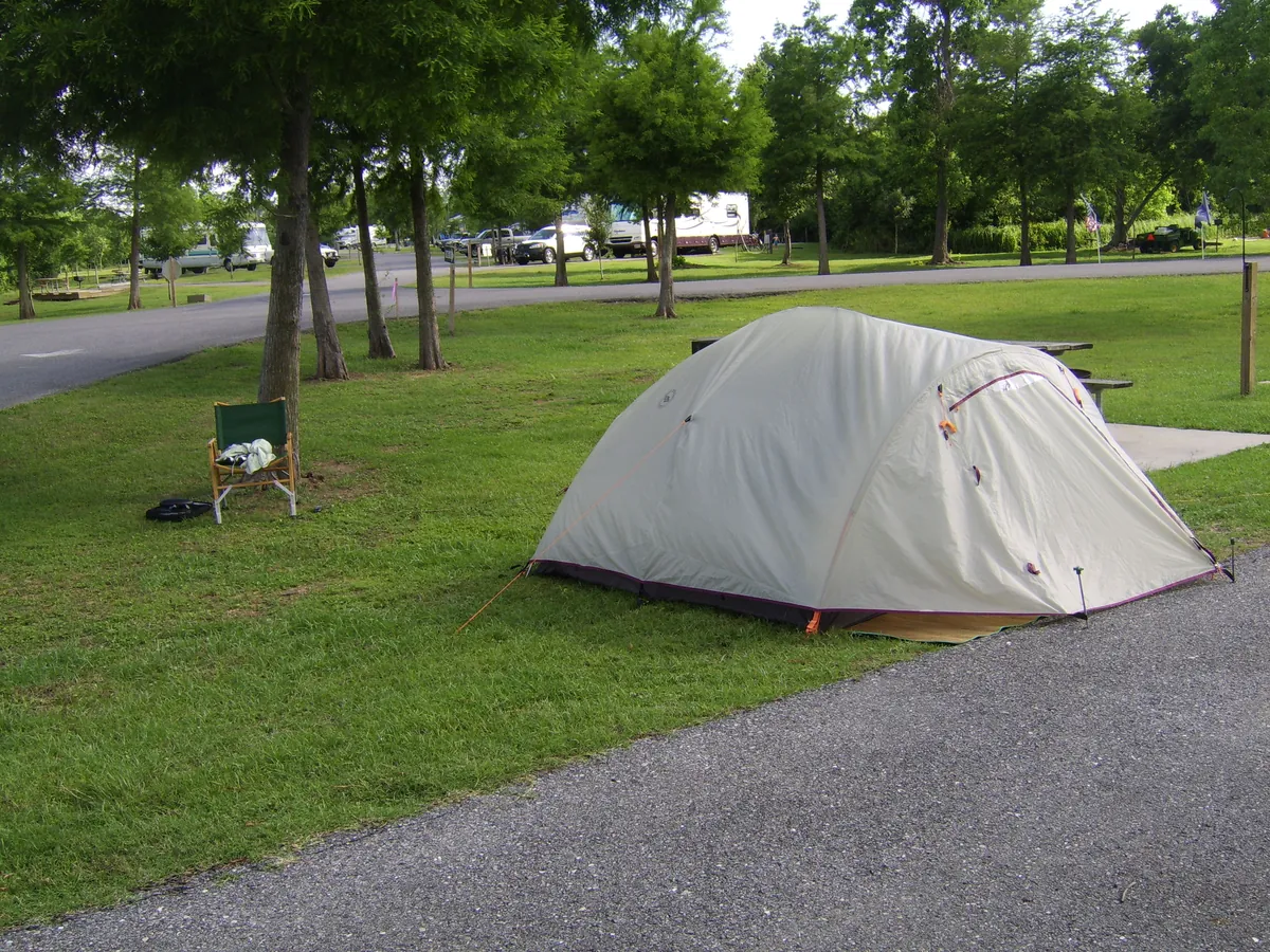
Grand Isle is the only inhabited barrier island in Louisiana, and Highway 1 south is the drive that proves the land is borrowed. The road narrows to a ribbon, fishing camps rise on stilts, and 100 miles from New Orleans the pavement runs out at seven miles of Gulf-facing beach. Across Barataria Pass sit the brick ruins of Fort Livingston, begun in 1835 on Grand Terre — the same island where Lafitte ran his Baratarian fleet before Andrew Jackson cut the deal at Chalmette. The tarpon rodeo has run since 1957. The island rebuilds after every hurricane because the fishing is that good.
The pirogue — the flat-bottomed dugout the Chitimacha and Houma developed for the bayous — is what made the upper Lafourche habitable before sugar made it rich. The Center at Nicholls is the only academic institution in America focused on still-living pirogue craft. E.D. White's 1825 cypress house produced the only Louisianan ever appointed Chief Justice of the United States. Laurel Valley is the largest surviving 19th-century sugar plantation complex in the country, preserved by neglect rather than restoration. The Wetlands Center ties the boats to the bayou Cajun culture they served. Sugar made the upper parish. Boats made sugar possible.
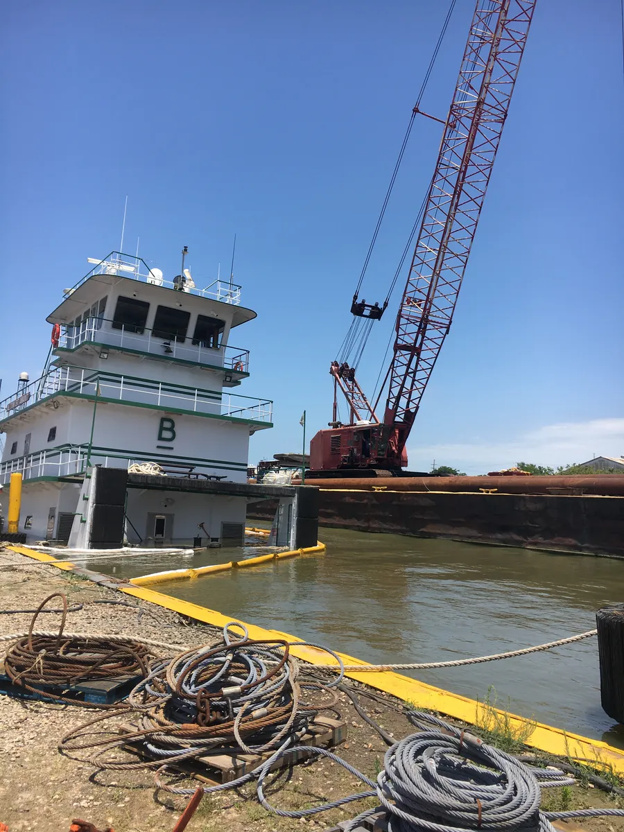
The West Bank built things, caught things, and shipped things. Joseph Hale Harvey's enslaved workforce dug the Harvey Canal by hand in the 1830s to link the Mississippi to Barataria Bay; by the 1890s, seven canneries on Sala Avenue in Westwego were packing Gulf shrimp for the world; at its peak in the 1970s and 1980s employed 26,000 people and launched LSTs for D-Day. The Westwego Shrimp Lot still sells direct off the boats from fourteen pink and red shacks. Overhead, the Huey P. Long Bridge — opened December 1935, three months after Long was shot — ties it together.
South of the subdivisions, Jefferson Parish dissolves into the same Barataria waterways the Chitimacha fished for centuries before Jean Lafitte's privateers used them to run goods past the Spanish customhouse in the 1810s. This trip launches from Crown Point, screams across open marsh by airboat, then slows to a walk on the boardwalks of the 20,000-acre Barataria Preserve, where alligators sun ten feet from the trail. It ends in the town of Jean Lafitte, population 2,000, where shrimp boats still tie up at the dock. The pirate is the hook. The fishing families are the place.
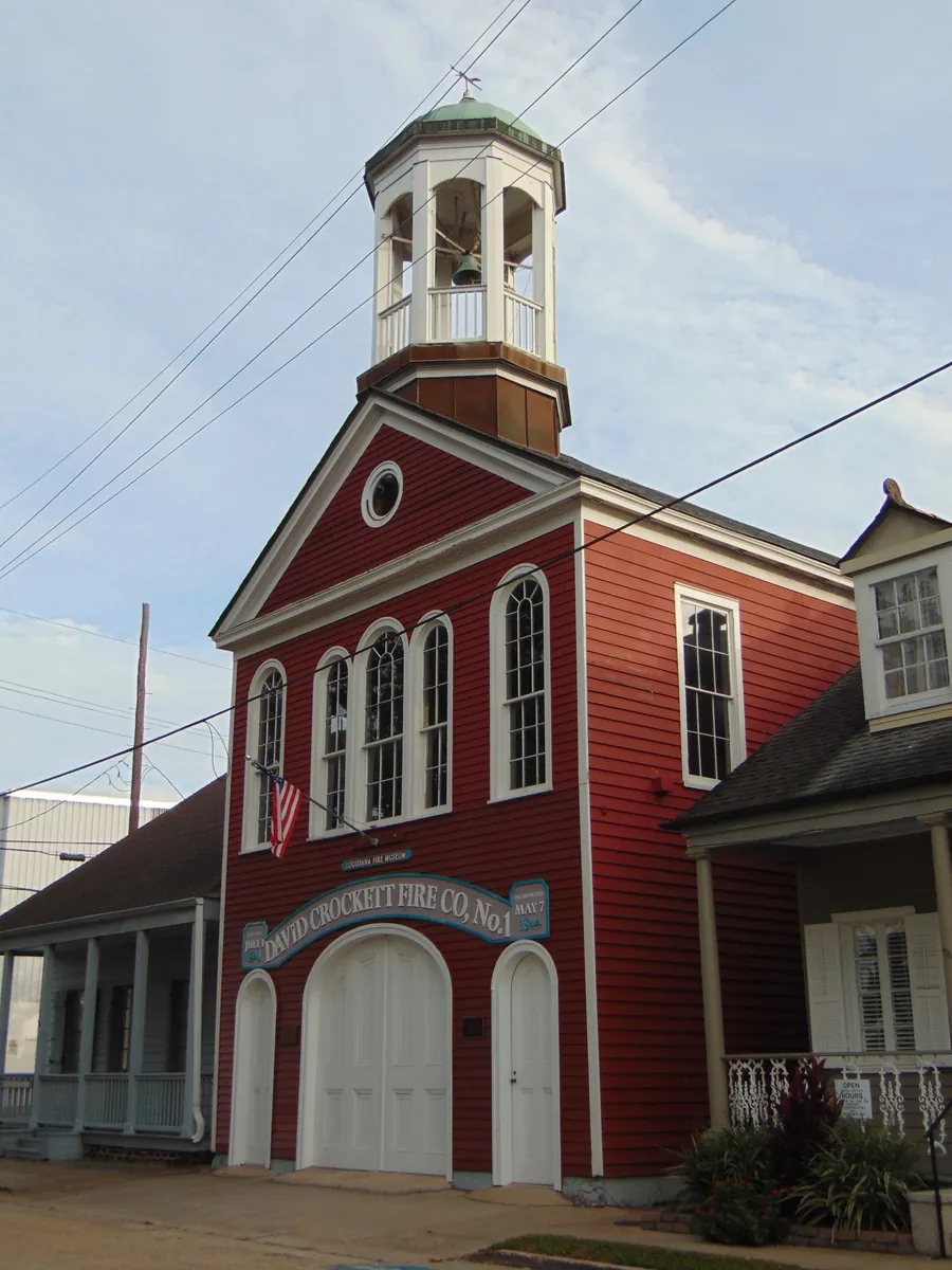
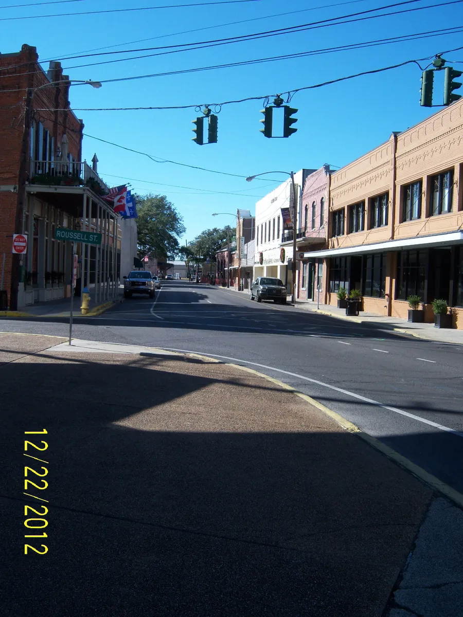
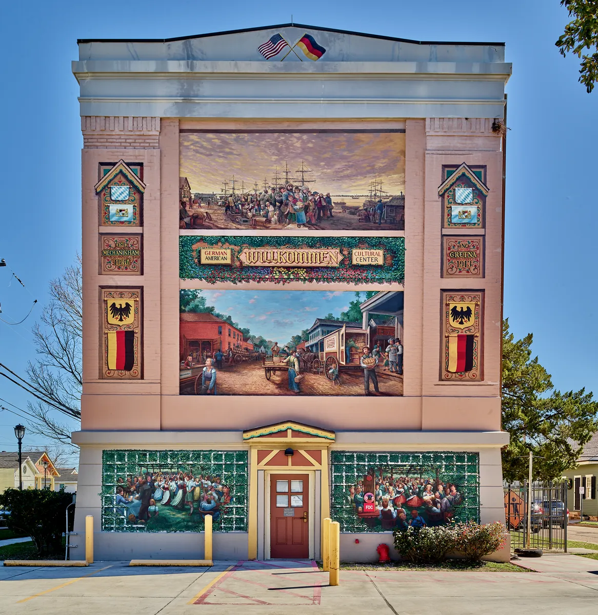
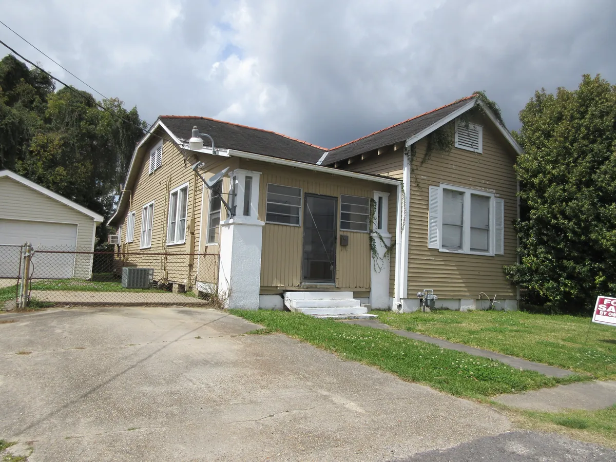
Gretna assembled itself from three settlements that grew toward each other: McDonoghville (1815, named for the planter whose will funded New Orleans public education), Mechanikham (1836, German immigrants), and Gretna proper (1840, around the railroad). The free ferry still runs from Canal Street to its foot. The David Crockett Steam Fire Company No. 1, founded 1841, is the oldest continuously active volunteer fire company in the United States. Mel Ott left here at sixteen for the New York Giants and hit 511 home runs without ever signing with anyone else.
The bayou kept getting added to. French and Spanish made the founding layer, then the German Coast got its name, then Irish hands dug the canals, then Acadians built a country in the swamps, then Sicilians took the Quarter and Lebanese took Mid City, and Vietnamese and Croatian families joined the seafood economy that fed the state. This is the layered version of how Louisiana came to be Louisiana — one stop per wave, in the order they arrived.
Reading
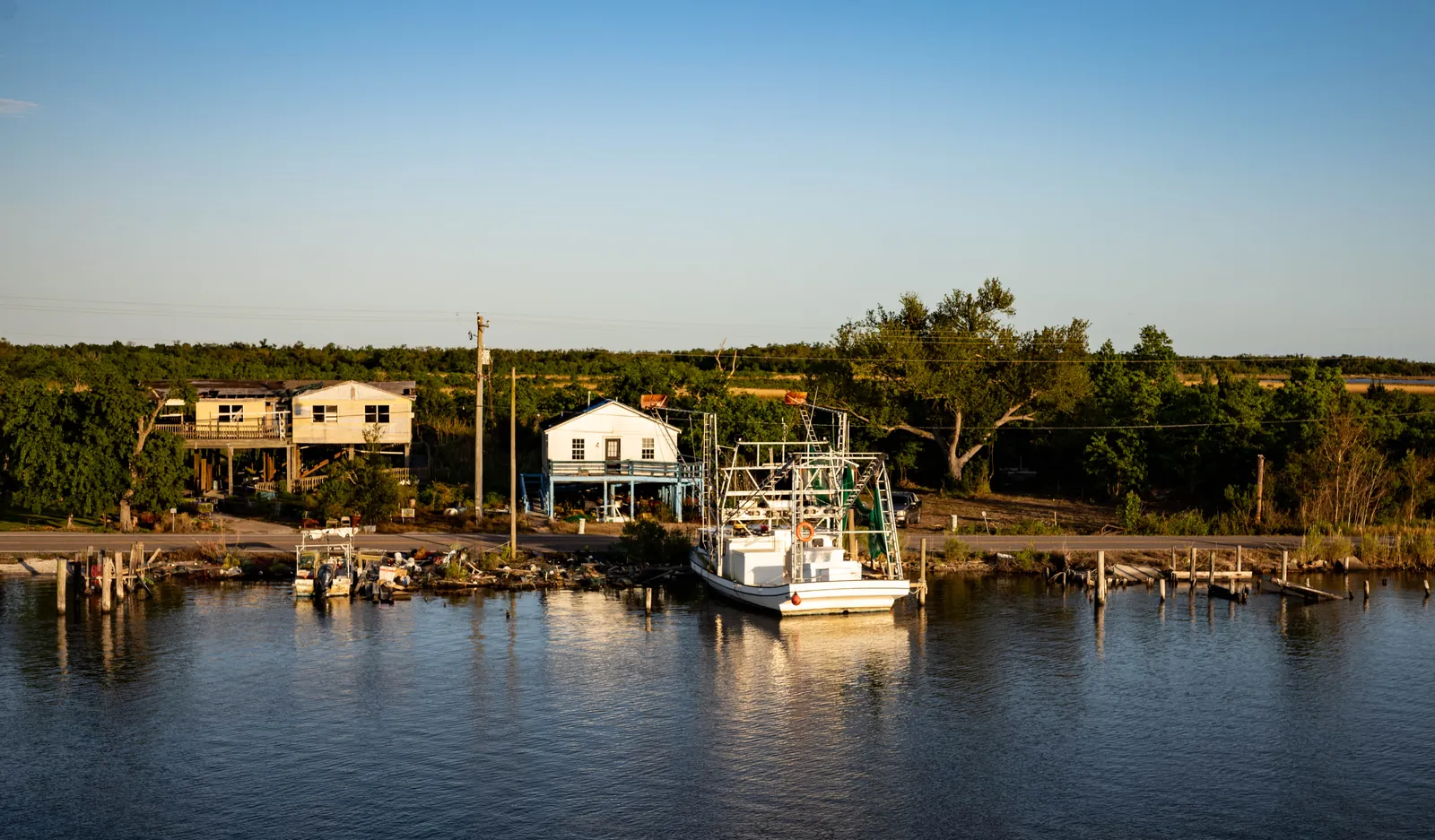
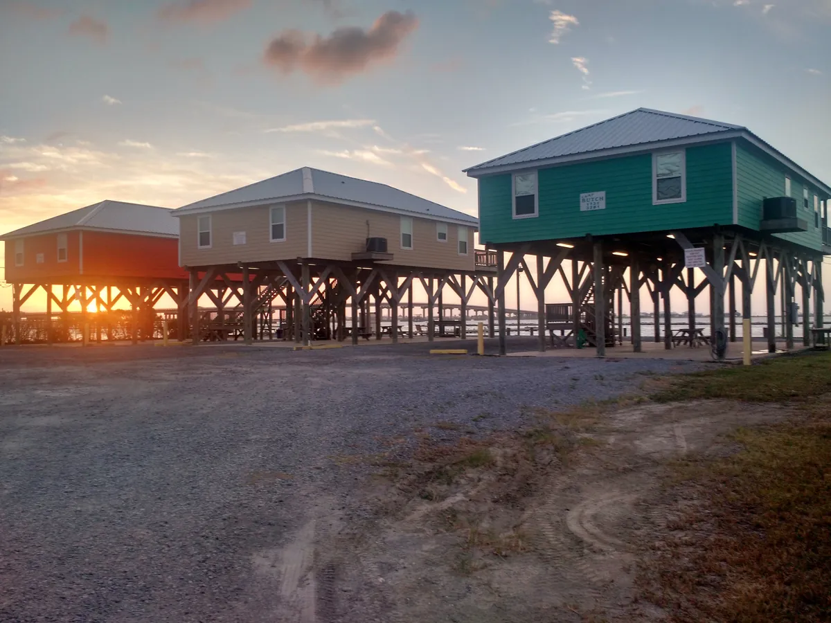
Port Fourchon sits at the end of Highway 1, where Bayou Lafourche meets the Gulf, and nearly ninety percent of all deepwater Gulf oil and gas production moves through it. Hundreds of supply vessels, helicopters, and crew boats work the port daily. When the Deepwater Horizon exploded, the cleanup staged from here. The single road in floods regularly. The land beneath it is disappearing. A direct hurricane strike would disrupt American energy production more than any single event short of war. Drive eighty miles down the bayou to reach it and you understand the math: the country's offshore energy supply runs through infrastructure that can't afford to fail and can't afford to stay. Houma built itself the same way — six bayous converging on one city, streets split down the middle by canals, small vessels moving alongside traffic. There is nowhere else in America that looks quite like this. The water was never the enemy. It was always the road.
The fourteen vendor shacks at the Westwego Shrimp Lot have held their ground since 1977, but the industry they represent is older than the lot, older than the roads that lead to it. Some of the families selling here are second and third generation — the same names, the same water, the catch moving directly from boat to vendor with no warehouse in between. Next door, a farmers and fisheries market fills out the picture on Saturday mornings: local produce, homemade preserves, Gulf seafood beside whatever came off the boats that week. One of three visitor centers in the Jean Lafitte National Historical Park network interprets this bayou corridor — the long, narrow communities shaped by trapping, fishing, and isolation — as one distinct way of enduring, alongside the prairie and the city. Free admission, live music on weekends. The work and the culture it made are still here, still running.
Jean Lafitte ran contraband through these bayous before Louisiana was a state, and the waterway that carried his smuggling network still moves everything worth moving out here — now it's fishing charters, swamp tours, and the daily work of commercial families who've run Barataria's waters for generations. The museum in the town that took his name gives both stories equal weight: the pirate routes and the shrimpers who came after, the legend tourists hunt and the labor that kept the economy alive once the privateers vanished. Out on Grand Terre Island, the federal government built Fort Livingston in 1841 on the same ground Lafitte used as his headquarters — the only fort on Louisiana's Gulf coast — then abandoned it after the Civil War. The Gulf has been taking it back ever since. That is the through-line here: what the water made, what it carries, and what it swallows.
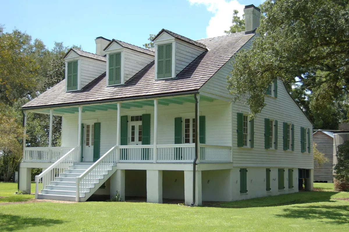
The Bowie brothers cleared indigo here in 1821. The Minor family bought them out, switched to sugar, and ran over 10,000 acres at the industry's height — 233 enslaved people on the property by 1852, the Greek Revival house going up in 1858, the Victorian second story added in 1893 with Favrile glass panels showing the plantation itself pressed into the windows. At its peak, Terrebonne Parish ran 86 sugar mills. Southdown ran the last one standing, until 1979, when the machinery was dismantled, shipped to Guatemala, and reassembled — it still grinds cane today. Two miles south, Laurel Valley shows you the rest of the story without cleaning it up: 40-plus original structures, tenant cabins, the ruined mill, preserved by neglect. What you see is what it looked like. Sugar built this parish; these places hold what sugar cost and what it left behind.
The Acadians who followed Bayou Lafourche south starting in 1765 did what people do when they find a waterway that runs all the way to the sea: they built along it. Narrow-fronted lots, deep back fields, houses strung on both banks for 106 miles from Donaldsonville to where the road runs out of ground — nineteenth-century writers called it the longest street in the world, and the Cajuns still do. In 1904 the bayou was cut off from the Mississippi to prevent flooding; it runs on pumped water now, but the towns it feeds — Thibodaux, Lockport, Galliano, Cut Off, Golden Meadow, Leeville — are still strung like beads on both banks. Drive Highway 1 south and watch the land narrow, the marsh move in, the Gulf take over. The Wetlands Acadian Cultural Center in Thibodaux names what that drive passes through: a bayou Cajun culture distinct from the prairie version, built on water, still here.
Croatian families came to Louisiana for the oysters. They settled Plaquemines Parish below New Orleans where the Mississippi meets the Gulf and built an oyster industry that still feeds the city's tables and the country's exports — Louisiana produces more oysters than any other state. Their surnames carved into the tombs at Grand Isle Cemetery match the names painted on shrimp boats working the same waters today, alongside Cajun and Filipino fishing families who've worked the island for over two centuries. Drago Cvitanovich opened a restaurant in Fat City in 1969 and invented the charbroiled oyster — butter, garlic, Parmesan, screaming hot grill — a recipe now copied across Louisiana. The Cvitanovich family still runs both locations. The barrier island floods every 2.68 years on average; the families stay anyway. It's what the work asks.
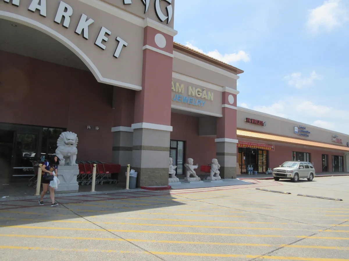
South Vietnamese refugees arrived in south Louisiana in the 1970s after the reunification of Vietnam, and the bayou recognized them — the boats, the nets, the marsh geography, the seasonal rhythms were all things they'd worked at home. Houma absorbed a significant share; Gretna and eastern New Orleans took the others. Vietnamese families built a parallel shrimping economy alongside the Cajun one already there, and their seafood markets and restaurants concentrated where the boats docked. Hong Kong Market on Behrman Highway in Gretna is now the largest produce department in Louisiana — 45,000 square feet stocking lemongrass next to filé. Generations on, the waterfront belongs to at least three cultures working the same water: Houma Nation, Cajun, Vietnamese. Same bayous. Same boats.
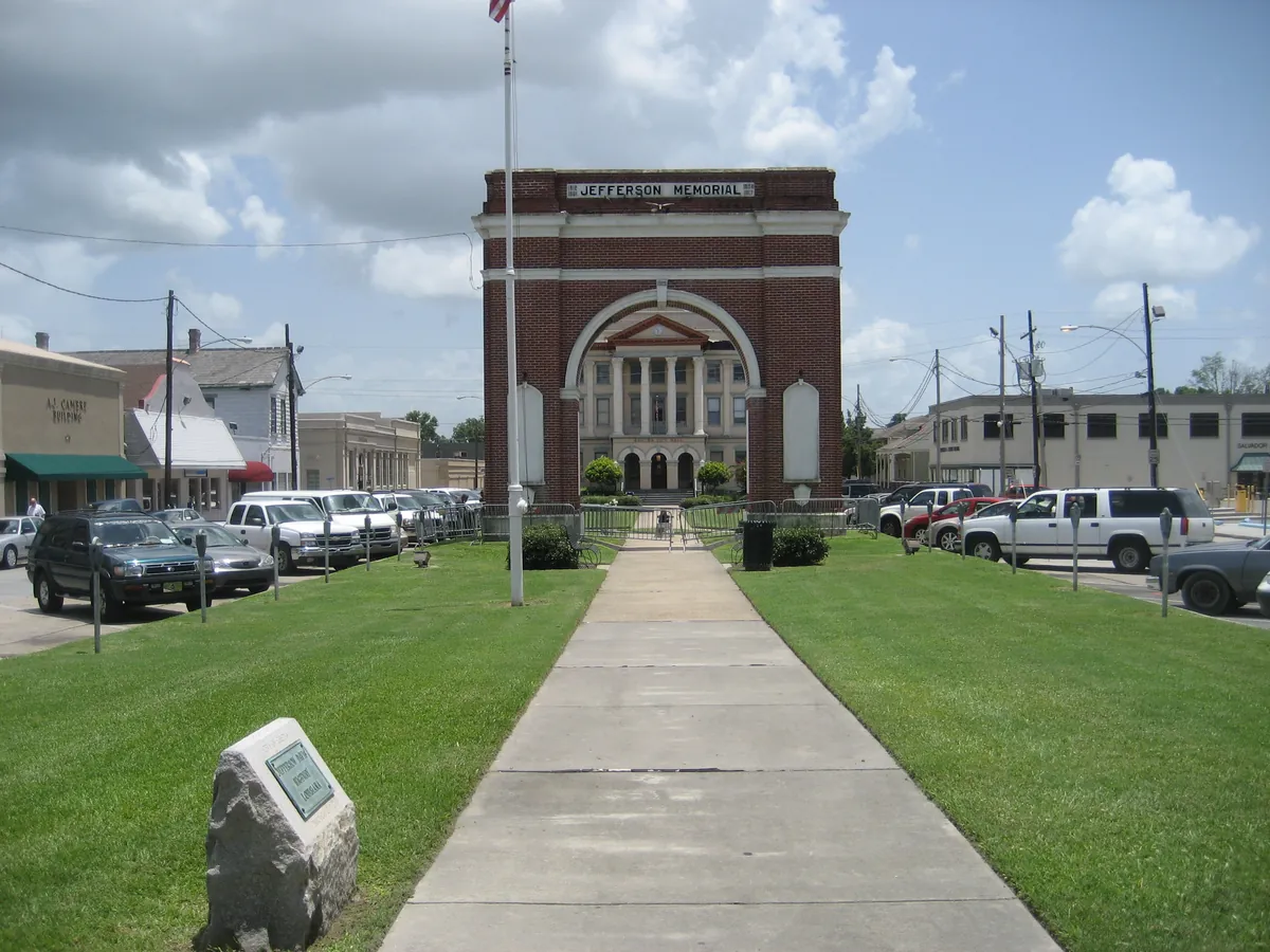
Jefferson Parish is forty miles long, and how a hurricane treats you depends entirely on which end you live on. Grand Isle, the barrier island at the southern tip, takes the first hit — every time. Bucktown, on the lakefront, floods when Pontchartrain surges. The interior suburbs around Metairie sit behind levees that weren't completed until after they'd already failed. Hurricane Betsy in 1965 was the turning point. It killed 76 people and became the first billion-dollar hurricane in American history. Congress responded by authorizing the Lake Pontchartrain & Vicinity Hurricane Protection Project and giving the Army Corps of Engineers sole authority over New Orleans-area flood control. The project was supposed to be finished by 2015. When Katrina hit in 2005, Jefferson Parish's portion was only 70 percent complete. The system held better here than in Orleans Parish, but the southern communities — Jean Lafitte, Crown Point, Barataria — flooded badly. Ida arrived in 2021 with 150-mph winds and pushed ten to twelve feet of water through the lower parish. The upgraded levee system held in the north. The south, as always, took the blow. The people who live at the bottom of Jefferson Parish know the math. They stay anyway.
Eight miles long, one mile wide, and sinking. Grand Isle is the only inhabited barrier island on Louisiana's Gulf Coast, and every generation since the 1780s has had to decide whether to stay. The worst decision point came on October 1, 1893, when a hurricane pushed a sixteen-foot storm surge across the neighboring community of Chenière Caminada and killed more than 1,500 people in a single night — still one of the deadliest natural disasters in American history. Grand Isle's cemetery holds rows of graves from that storm. The island rebuilt as a summer resort, then as a fishing and oil town. Betsy hit in 1965. Katrina in 2005. Ida made landfall in 2021 with 150-mph winds and put ten feet of water through the southern end of the parish. The year-round population has dropped to roughly 600 people. But every summer the island swells to 20,000 — camp owners, charter fishermen, families who've been coming for generations. The live oak chenier forest at the island's center, the last of its kind on the Gulf Coast, is still standing. So is Grand Isle.
At its peak, Avondale Shipyard employed 26,000 people — more than the population of most Louisiana cities. For seventy-six years, the yard on the west bank of the Mississippi near Bridge City built the vessels that carried American military power across oceans: destroyers, amphibious assault ships, the USS Somerset. It started in 1938 as Avondale Marine Ways, a small barge repair operation founded by James Viavant, Harry Koch, and Perry Ellis with 200 workers. World War II changed everything. Government contracts for tugs and transport vessels turned the yard into the largest private employer in Louisiana. Generations of West Bank families — Bridge City, Westwego, Harvey — built their lives around the shipyard's shifts and the industries that fed it. When the last naval vessel departed on February 3, 2014, the closure left a hole in the regional economy that a decade hasn't filled. The Port of South Louisiana acquired the site in 2023, and redevelopment plans are underway. But the working-class identity of this stretch of river — the lunch-pail, welding-mask, overtime-check culture — was forged at Avondale, and the people who live here still carry it.
In September 1814, the British offered Jean Lafitte $30,000 and a captain's commission in the Royal Navy to help them take New Orleans. Lafitte asked for two weeks to think about it, then wrote to Governor Claiborne offering to fight for the Americans instead — if the governor would pardon his men. It was the most consequential negotiation in Louisiana history, and it happened because a smuggler operating out of the bayous south of Jefferson Parish knew the terrain better than any military officer alive. Lafitte's Barataria operation was no ragtag camp. By 1810 it was a profitable port, its channels hidden in a maze of bayous that customs agents couldn't navigate. The main commodity was enslaved people — the U.S. had banned the international slave trade in 1808, and Lafitte bought cheap in the West Indies and sold dear in Louisiana. When the Battle of New Orleans came in January 1815, roughly fifty Baratarians manned the American guns. They were, by reputation, the best artillerists in the Caribbean. Andrew Jackson won. President Madison pardoned the pirates. Lafitte moved on to Galveston. The bayous he used are still there, threading through the Barataria Preserve, quiet now except for herons and airboats.
The first version was a ditch dug by enslaved people. Jean-Baptiste d'Estrehan de Beaupré, the French colonial royal treasurer, had his plantation workers cut a channel from the Mississippi River south toward Bayou Barataria — a shortcut between the river's commerce and the swamp's resources. In 1839, Nicholas Noel Destrehan hired Irish laborers to widen it into a real canal, and by 1844 it was open for traffic: barges and schooners hauling timber, moss, fish, and shellfish from the bayous to the city. The canal needed a way to get boats over the levee, so engineers built a “submarine railway” — a mechanical lift that dragged vessels up and over the earthen wall. That contraption served until the Army Corps of Engineers completed a proper lock in 1907, then a larger one in 1934. The town that grew around the canal took its name from Joseph Hale Harvey, who married a Destrehan descendant and renamed the settlement after himself. By the twentieth century, the Harvey Canal had become part of the Gulf Intracoastal Waterway, linking the Mississippi to the oil fields and fishing grounds of Barataria Bay. It is the seam between two versions of Jefferson Parish — the river side and the bayou side — and everything on the West Bank flows through it.
Lost places
Happening this month
Before you go
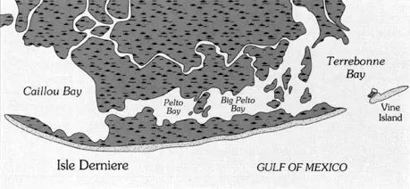
Isle Dernière was Louisiana's grandest resort. The 1856 hurricane erased it in hours. Davis reconstructs the storm that taught the coast what it was up against.
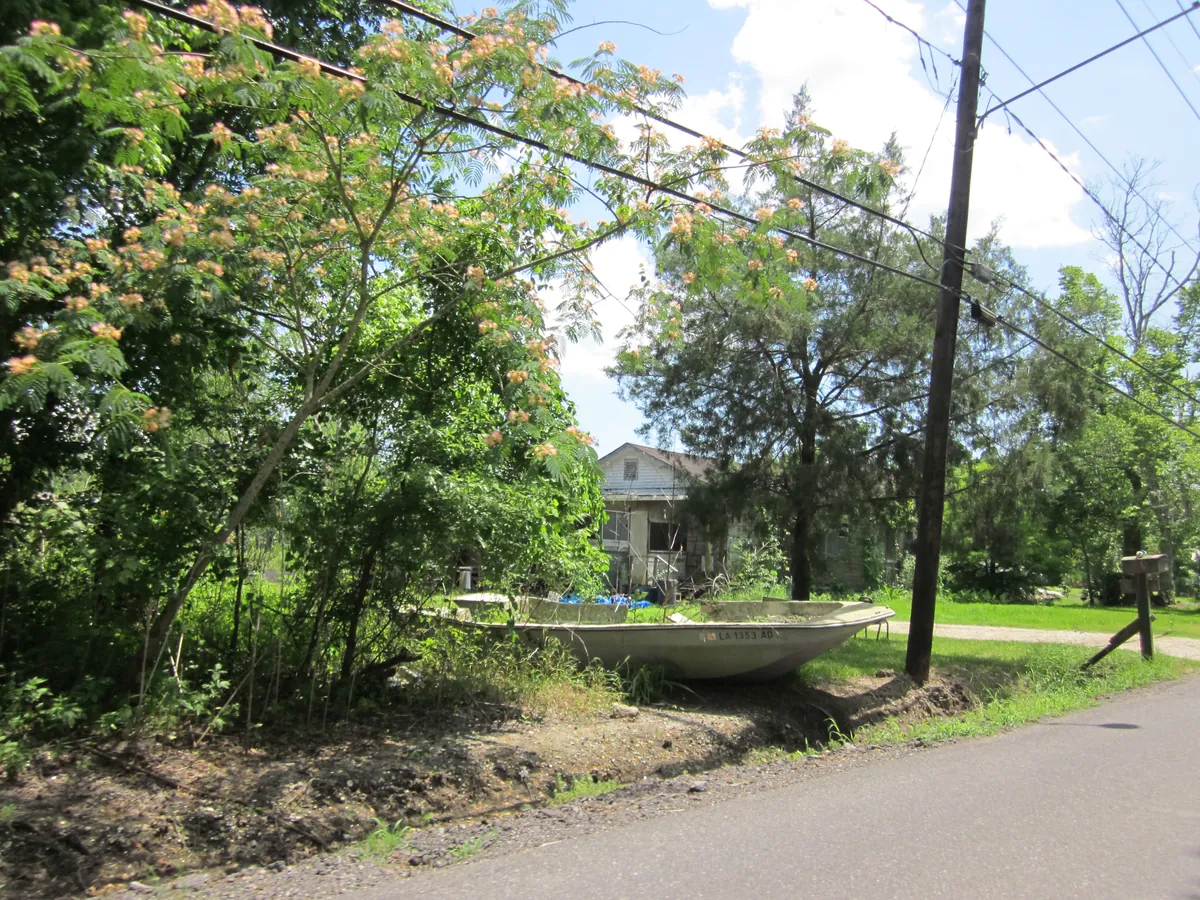
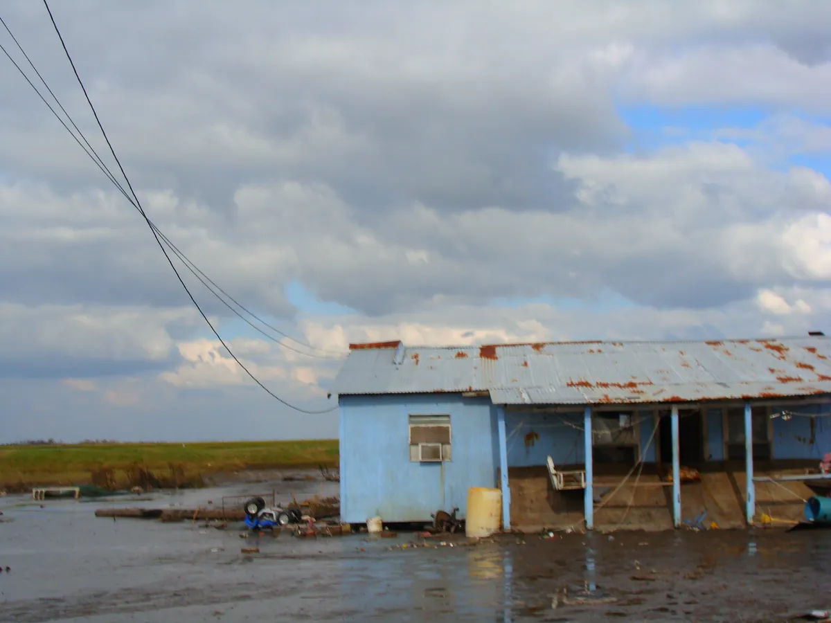
Bayou Corne, Louisiana: a Cajun community erased by a sinkhole no one made safe. What endures tells you who these people are.
Also in this region
Down on the Bayou is one of several areas in New Orleans.
Plan your trip
The only thing left to do is go.
Plan your visit
Editorial content compiled with AI assistance. Place details verified against public records.