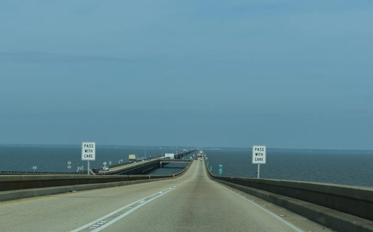
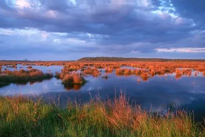
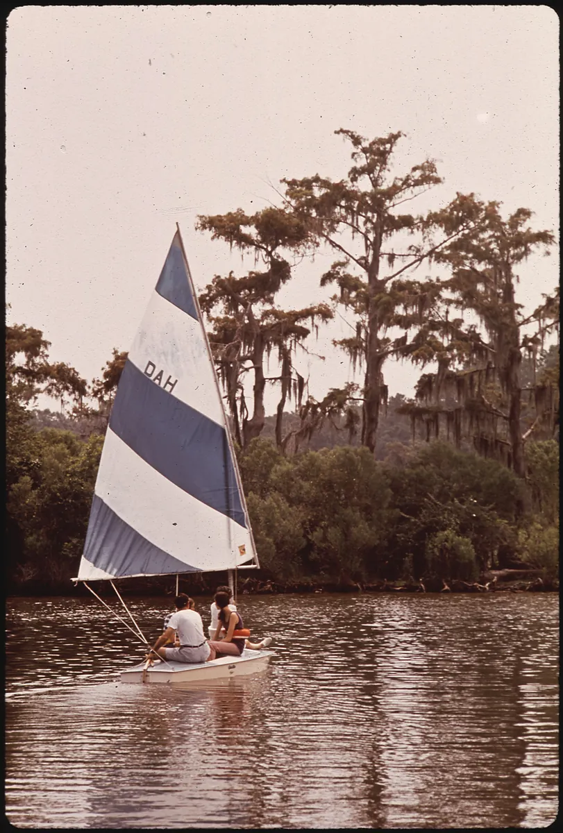
Before the French had a name for it, the Tchefuncte people were already working this water. Pierre Le Moyne d'Iberville named the lake in 1699 for a minister under Louis XIV — the estuary already doing what it would do for the next three centuries: connecting the interior to the Gulf, brackish and tidal, 630 square miles fed by six rivers. It is not truly a lake, though the name stuck. New Orleanians crossed it by schooner, then steamboat, then ferry to reach the pine forests and artesian springs of the north shore — relief from yellow fever, from the city, from themselves. In 1956 the Causeway ended that crossing: 23.87 miles, the longest continuous bridge over water in the world, and a 90-minute ferry ride became a 30-minute commute. The resort shore became a suburb. Big Branch Marsh holds what didn't get built — 80,000 acres of pine savanna and marsh, home to eight threatened or endangered bird species, the red-cockaded woodpecker among them, dependent on old-growth longleaf pine that almost no one bothered to protect until it was nearly gone.