The water at Dauphin Island is not turquoise. It is not the postcard blue of Destin or the sugar-white Gulf Shores. The Gulf here is brown, or green-brown, or on a good day a murky jade that still won't let you see your feet past your knees.
This is not a flaw. It's geography.
The Mobile River drains a 44,000-square-mile watershed — parts of Georgia, Tennessee, Mississippi, and most of Alabama — through the Mobile-Tensaw Delta into Mobile Bay. The bay carries that load to the Gulf. When conditions are calm you can see the plume extending south, the dark river water spreading over the lighter salt water. Dauphin Island sits at the mouth of that system. The sediment is always there.
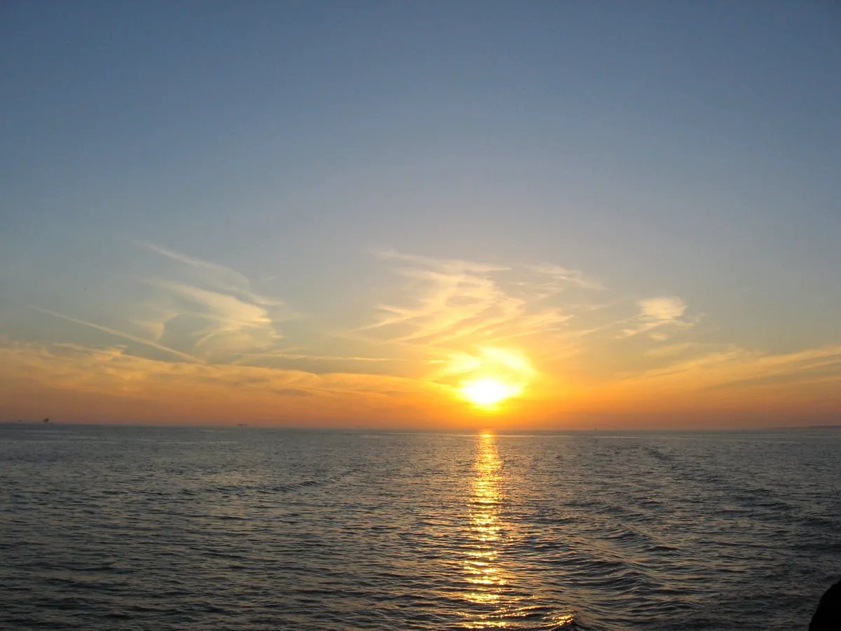
At night, stand on the south shore and look out over the Gulf. The lights you see offshore — flickering orange and white on the horizon — are not boats. They are oil platforms. The northern Gulf of Mexico is an oil field, and the infrastructure is close enough to shore to be visible. The tourism brochures don't mention this. But it's honest. The Gulf that gave Dauphin Island its fishing economy also gave it the petroleum economy just beyond the waterline.
The murky water and the oil lights are the same story: this is a working coast, not a beach resort. It looks like what it actually is.