### Bend & the Oregon Cascades
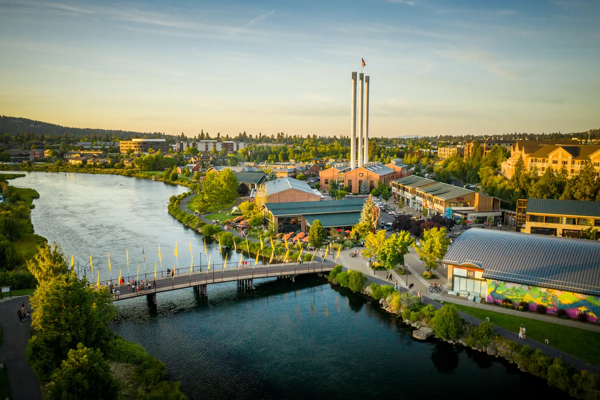
Bend sits on the high desert plateau of Central Oregon, shadowed by the Cascade Mountains. The range, a product of volcanic activity stretching back 40 million years, created a rain shield that shaped the dry landscape east of its peaks. The Deschutes River, rerouted by lava flows from those ancient eruptions, cut through this terrain, sustaining life and drawing people for millennia.
For nearly 12,000 years, Native American tribes hunted and fished along the Deschutes. European fur traders arrived in the early 19th century, carving their initials into rock still found today at the Deschutes County Historical Society. By the mid-19th century, settlers, primarily farmers and ranchers, moved into the region. But Central Oregon remained largely undeveloped, isolated by a lack of transportation infrastructure.
The early 20th century saw Bend emerge as a logging town. The first commercial sawmills opened in 1901 and 1903. The community incorporated in 1905, taking its shortened name from "Farewell Bend," a term early settlers used for a bend in the Deschutes. This new town quickly found itself at the center of a railroad race, as two barons laid parallel tracks up the Deschutes River, each pushing to reach Bend and connect Central Oregon to the wider world.
Today, Bend, once a remote timber outpost, is known for its access to the outdoors. The volcanic peaks of the Cascades, including Mount Bachelor, formed 8,000 to 18,000 years ago, remain a draw for skiing. Smith Rock State Park's formations offer climbing, and the Deschutes River still provides opportunities for fishing and rafting, a direct link to the river that shaped the region’s past.