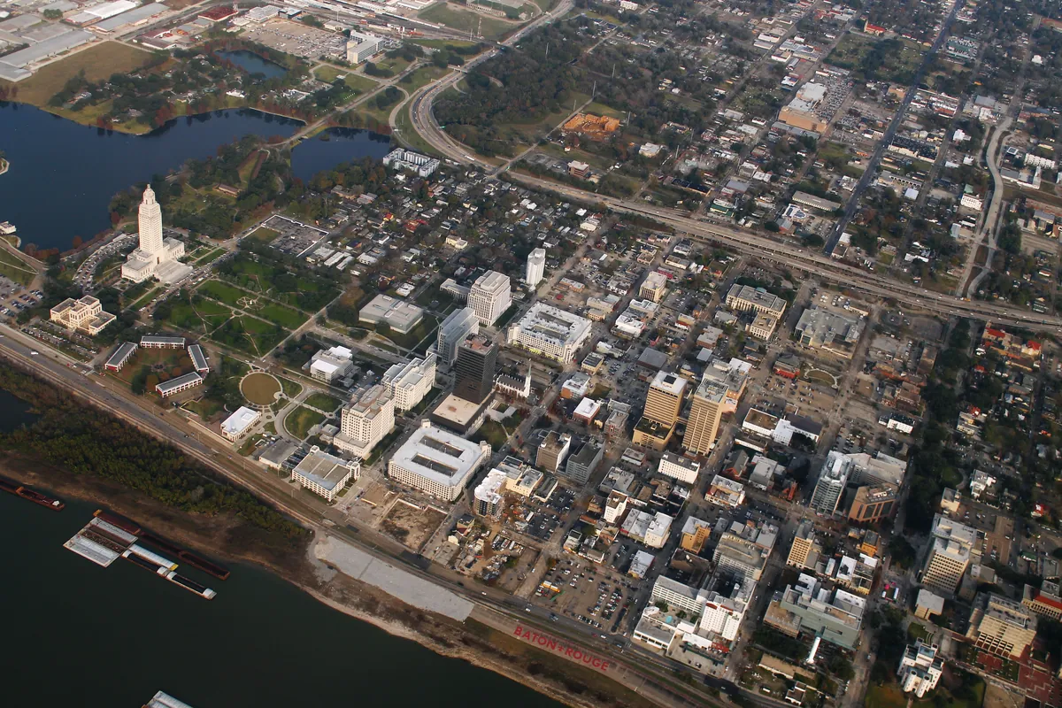
Baton Rouge's original commercial airport operated in Mid City from the late 1920s until the new airport (built as a WWII Army Air Corps training base) took over. The old runways and taxiways were paved over and subdivided — but the street grid never quite forgot the diagonals. Several Mid City streets still follow the angles of the old runway alignment, a legible ghost of the city's aviation past visible on any map.
Quick facts
- ·Baton Rouge's original commercial airport operated in Mid City from the late 1920s until WWII-era Harding Field replaced it.
- ·The old runways and taxiways were paved over and subdivided into residential blocks.
- ·Several Mid City streets still follow the diagonal angles of the old runway alignment — a ghost grid visible on any map.
- ·The airport's former location explains the unusually wide lots and odd angles in parts of the Mid City neighborhood east of Airline Highway.
- ·No marker exists. Open Google Maps satellite view to trace the old runway pattern yourself.
Memories
Be the first to leave a memory at Old Baton Rouge Airport — Ryan Field Ghost Grid.
Sign in to see memories your family has left at this place.
Editorial content compiled with AI assistance. Place details verified against public records.